Sophomores from various colleges within the University of Maryland system from the First-Year Innovation and Research Experience (FIRE) Summer Fellows program have developed and coded an algorithmic tool to identify unregistered poultry farms. This is a significant step forward in ensuring food security and transparency in the supply chain within the region.
The students collaborated virtually with the US Department of Agriculture’s Animal and Plant Health Inspection Service (USDA-APHIS) to build the data collection, analysis, and visualization tool for the agency to use.
Pandemic Leads to Rise in Unregulated Farming
The students used a computer program called R Studio to develop and code an automated software tool that searched available public databases and directories online to find existing farms — particularly, those that had live chickens, baby chicks, or fresh eggs.
FIRE Assistant Clinical Professor Dr. Thanicha Ruangmas explained that the team decided to focus on grey markets for chickens and live poultry because diseases from unregulated producers “have been a problem in Maryland.”
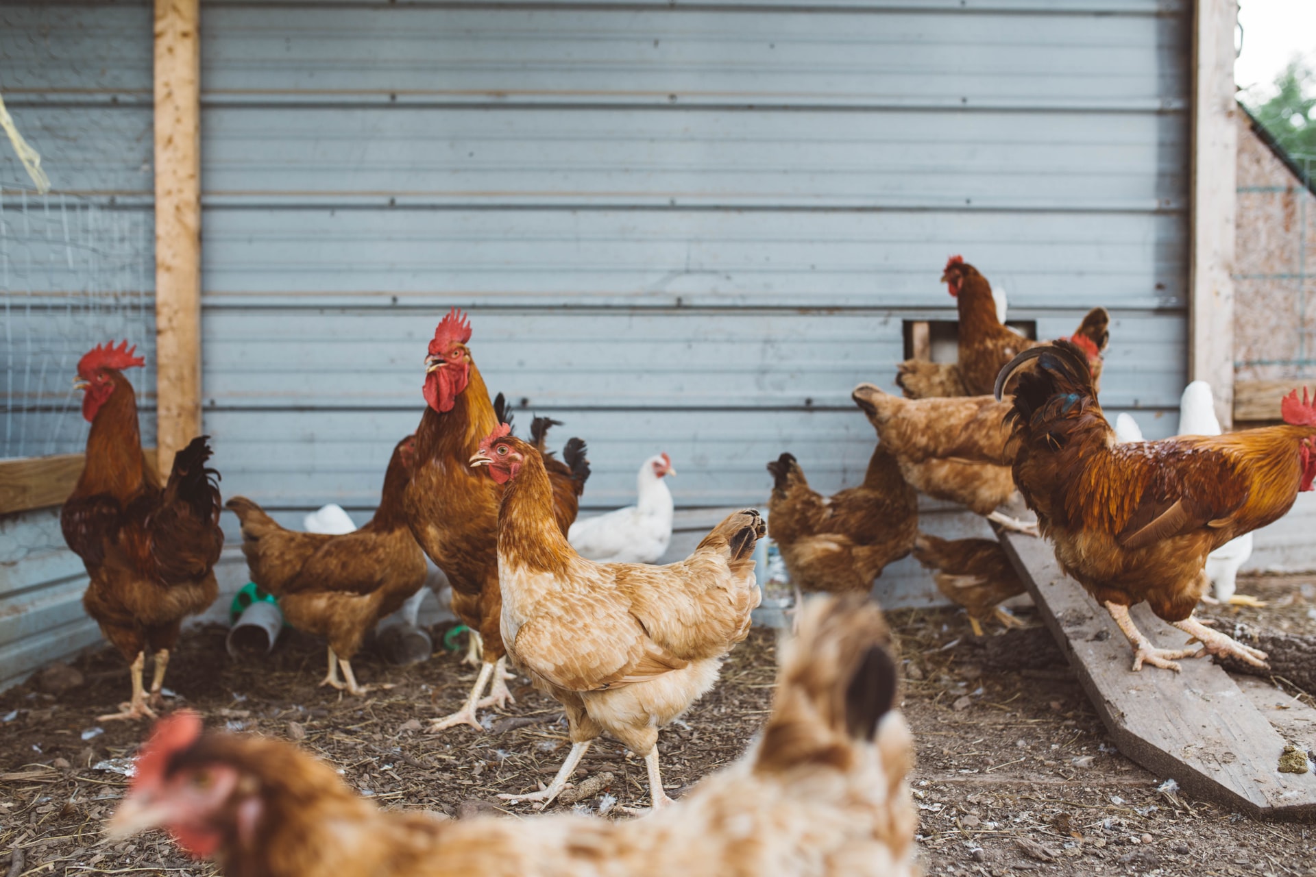
With increased isolation, the pandemic brought on a trend of people maintaining backyard chicken flocks for eggs and sales. However, these small-scale farmers may have been operating unregistered, and unregulated chickens in the local markets can transmit diseases to large-scale commercial producers and other small flocks.
Identifying the Poultry ‘Gray Market’
The students looked for farms in Maryland, Virginia, and Delaware, and were able to identify the geo-coordinates of 1,493 farms in the region. This information was used to cross-check state registration information that was obtained from the state’s Department of Agriculture.
With this information, the students also created an online interactive app that could identify the farms and where they were located in proximity to one another.
“Click on the map and you get all of the information about the farm. If there was a disease outbreak, APHIS could locate the farm where it occurs and notify farms within a given radius,” Ruangmas explained.
This innovation will make the job of ensuring food safety easier and more effective throughout the Maryland region.


